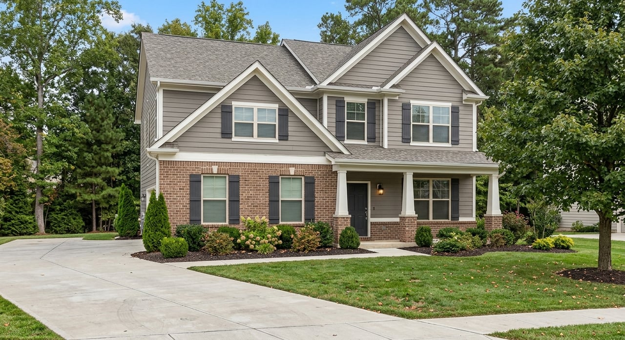
A boundary surprise at the closing table can stop a sale cold. If you are preparing to list a home or land in Yadkinville, a quick check in Yadkin County’s GIS can help you spot issues early, answer disclosure questions, and set buyer expectations. In minutes, you can review parcel lines, zoning, flood overlays, and key records that support a clean listing. Here is how to use the county tools the right way and when to bring in a survey or title help. Let’s dive in.
What Yadkin County GIS offers
Yadkin County’s online GIS viewer lets you search by address, owner, or parcel ID and see parcel boundaries with an attribute report, measurement tools, and printable maps. You can also switch on layers for zoning, town limits, flood overlays, and more. The county’s help guide explains how to search, measure, and print, and it includes the formal accuracy disclaimer. Review the tools and disclaimer in the county’s GIS help guide.
Why boundary checks matter in Yadkinville
A quick GIS review can flag encroachments, easements, shared driveways, or flood exposure that could affect value, financing, or marketing. It also helps you complete required North Carolina disclosures accurately, including the Residential Property and Owners’ Association Disclosure Statement and the Mineral and Oil & Gas Rights statement. The North Carolina Real Estate Commission explains these seller duties and notes the RPOADS form was updated in 2024. Read the NCREC guidance on required disclosures here. North Carolina law also requires disclosure of whether subdivision streets are public or private and who maintains them. If your property uses a private or shared road, confirm status in recorded documents and disclose as required under N.C.G.S. § 136-102.6.
Step-by-step: Use Yadkin GIS before you list
Step 1: Find your parcel and print
Search the GIS by address, owner name, or parcel/PIN. Open the parcel details, then print a PDF map and the attribute report for your listing file. Save both so you can reference acreage, parcel ID, and owner information quickly.
Step 2: Measure with aerial imagery
Switch to the orthophoto base map and use the measurement tool to estimate distances from visible features like fences, sheds, or driveways to the mapped parcel lines. These are approximations, which makes them great for spotting potential issues to investigate. If anything looks tight or off, make a note to verify.
Step 3: Add zoning, town limits, and flood layers
Turn on the zoning and town limits layers to see if the parcel sits inside Yadkinville or in the unincorporated county. Then check the flood overlay to screen for risk. If flood risk appears, pull the official FIRM or FIRMette from FEMA’s Map Service Center to confirm what lenders and insurers will use.
Step 4: Pull legal documents
Use the parcel’s PIN to search the Register of Deeds for recorded deeds, plats, and easements. Recorded instruments are the legal source for boundary descriptions and encumbrances. Start your document search with the Yadkin County page at the Register of Deeds.
Step 5: Check septic or well records
If the property uses a septic system or private well, request the official records from Yadkin County Environmental Health. Permits, repair notes, and location sketches help you answer buyer questions and complete disclosures. You can request records through Environmental Health’s on-site wastewater program.
Step 6: Resolve conflicts the right way
Common red flags include parcel lines that do not match a fence, a structure near or over a line, an unrecorded driveway, or a flood overlay. In these cases, advise getting a licensed boundary survey and title review before you activate the listing. The county notes that GIS is for convenience only and not survey quality. Review the disclaimer in the GIS help guide.
What GIS can and cannot confirm
- What it can do: quickly show the mapped parcel footprint, tax parcel attributes, aerial context, zoning or town boundaries, and a flood indicator. It is an excellent screening tool.
- What it cannot do: establish legal boundaries or resolve encroachments. GIS lines are not survey grade and may not show all easements. Use recorded deeds and plats and, when in doubt, order a licensed survey. See the county’s accuracy statement in the GIS help guide.
- When to stop at GIS: smaller in-town lots without boundary concerns, simple confirmation of jurisdiction, and a first pass at flood awareness.
- When to get a survey: acreage-sensitive properties, improvements near a line, any visible conflict, buyer request, or questions about access or easements.
Quick pre-listing checklist for Yadkinville sellers
- Pull your parcel in Yadkin County GIS and print the parcel map and attribute report. Start on the GIS main page.
- Download or request your property record card and tax details from the Tax Office.
- Search the Register of Deeds for the deed, plats, and any easements or covenants.
- If the flood overlay appears in GIS, verify the regulatory zone at FEMA’s Map Service Center.
- If on septic or well, request Environmental Health records through the on-site wastewater program.
- If anything looks unclear, plan for a licensed boundary survey and alert your closing/title professional.
- Complete the required NC disclosure forms accurately using the latest guidance from the NCREC bulletin.
Who to contact for answers
- Yadkin County GIS Department: parcel maps, printing help, and GIS questions. Visit the GIS main page.
- Tax Assessor’s Office: property record cards, assessed value, and tax accounts. Go to the Tax Office.
- Register of Deeds: recorded deeds, plats, and easements. Start with the county page at the Register of Deeds.
- Environmental Health: septic and private well records. Use the on-site wastewater program.
- Planning and Permitting: zoning questions, permit history, and town limit questions. Contact Yadkin County Planning.
Set your listing up for success
A thoughtful GIS review can prevent surprises, support clean disclosures, and build buyer confidence. When you combine county mapping with recorded documents and, when needed, a survey, you protect your timeline and your price. If you want a local partner to help you prepare a market-ready listing in the Triad, reach out. Connect with Karen Swicegood to schedule a consultation and get a clear plan for your next step.
FAQs
Can I rely on county parcel lines in Yadkin GIS to define my property?
- No. The county states GIS is for convenience only and not survey grade, so you should confirm boundaries with recorded plats or a licensed surveyor. See the county’s note in the GIS help guide.
What if the map shows my house over the line in Yadkinville?
- Pull your deed and any plats from the Register of Deeds. If those do not resolve it, order a boundary survey and notify your title professional.
Does the Yadkin GIS map show all easements for my land?
- Not always. Some may appear as layers, but many easements exist only in recorded deed or plat language, so search the Register of Deeds for the full record.
Do I have to disclose if my driveway is on a private road?
- Yes. North Carolina law requires disclosure about public versus private street status where applicable, and sellers must complete the required disclosure forms. Review the statute at N.C.G.S. § 136-102.6 and the current NCREC bulletin for sellers.